Bungo-Kaido
Kyushu has a long history as one of the oldest and most independent areas of historic Japan. Due to its distance from the capitol Edo (now Tokyo) the influence of the ruling class was limited. However, the ruling Daimyo (fudal lords) still had to participate in the “alternate attendance system“, requiring them to spend one year in Edo and one year in their local province. This yearly pilgrimage required the movement of an enormous number of people and supplies, so roads were build and maintained to accommodate the journey. One such road was the “Bungo-Kaido”. A recreation of this type of procession can be see in Kitsuki during a yearly summer festival.
The “Bungo-Kaido” still runs (with some modifications over the years) from Kumamoto in the west of Kyoshu to Oita in the east, and was used during the Edo period as the path to from Kumamoto to Edo. At Oita the procession would travel by boat to Shikoku Island and then onto Osaka and eventually Edo (Tokyo). A full map of the road can be found here. Due to this mass annual migration, the road became an important trade route. The part of the route that passes though Aso city is documented in a rather well written English document about the history of the road.
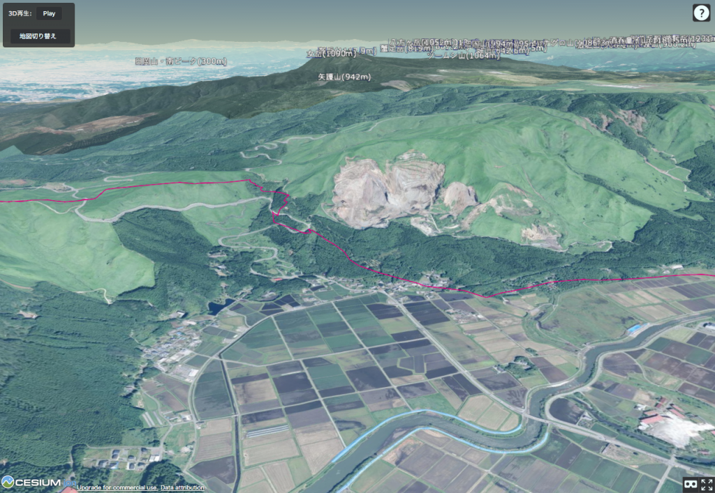
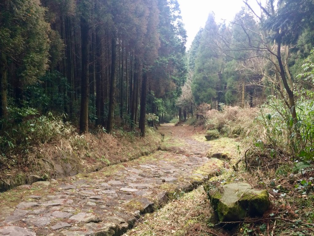
The part of the road that cuts through Aso is logged here. The section best walked in Aso is shown in red on the map below. You can walk up from a temple at the foot of the caldera edge and move up to the top where a great view of Aso city and the volcano can be enjoyed.